For the sake of preservation of everybody's life, it cannot be emphasized enough that safety is the uppermost priority of every single geology field trip, whether it's for academic, personal endeavor, work related or whatnot. Thanks to Ferre's article found on Geology Field Camp website, safety's a priority. As they stated in that article, they indicated "...Lessons vary..." so in this case, it would be prudent to watch the weather forecast, wear high boots, and acute awareness of your surrounding environment.
Weather forecast is the obvious. You would want to dress well for the day field trip at those two mountains. Pants are strongly recommended as well as a light windbreaker, some type of shade for the head as well as plenty of water. It can get hot and cold in moment's notice. There aren't plenty of trees to look for shade.
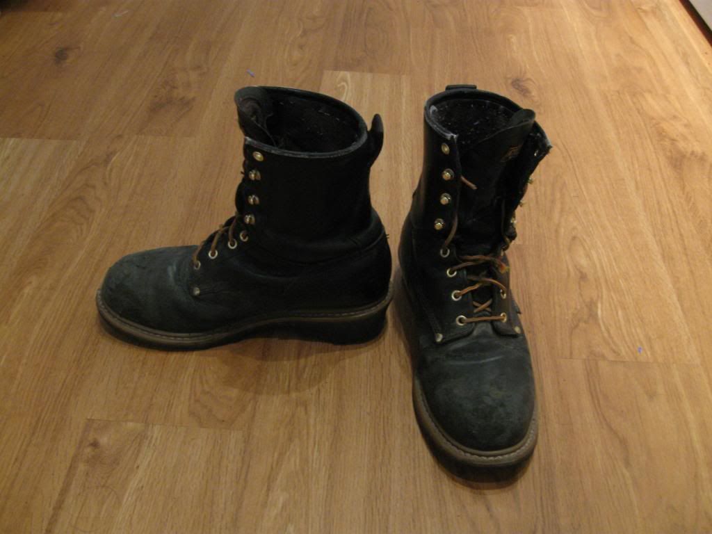
High boots are recommended because rattlesnakes are known to be around this site (McInerney).
Acute awareness is needed on everyone to watch out for falling boulders, incoming bikers on mountain bikes, lightning, the weather, and so forth. This one is fairly based on common sense.
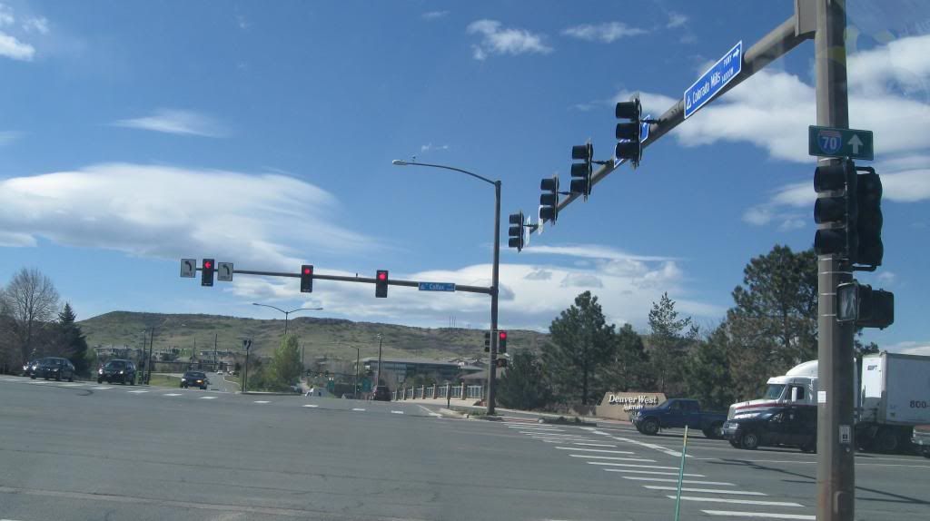
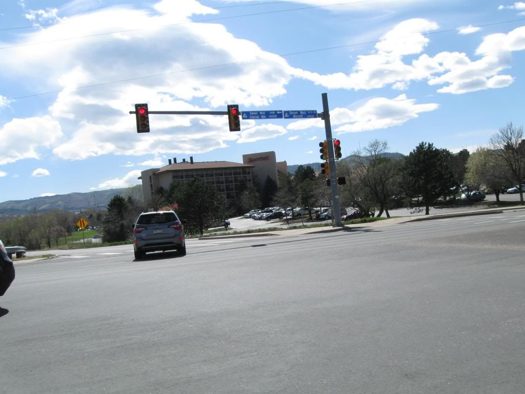
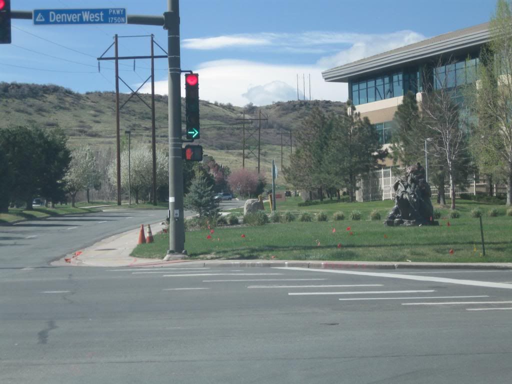
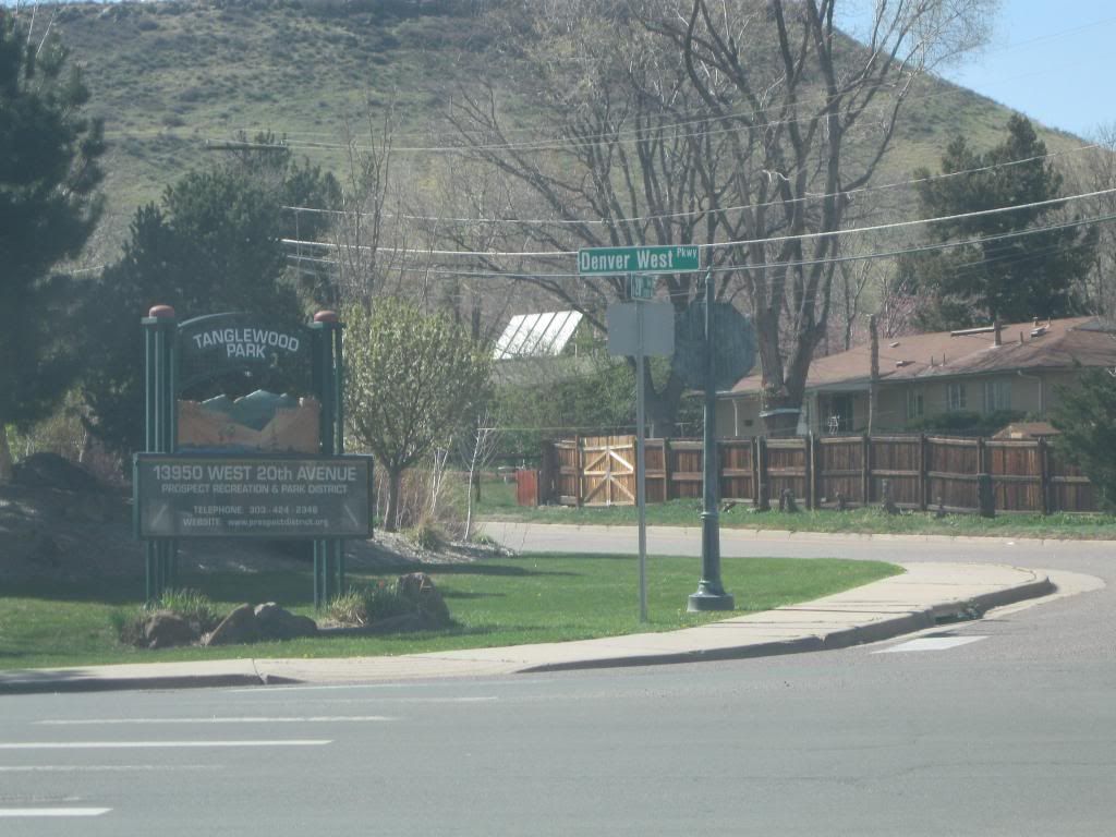
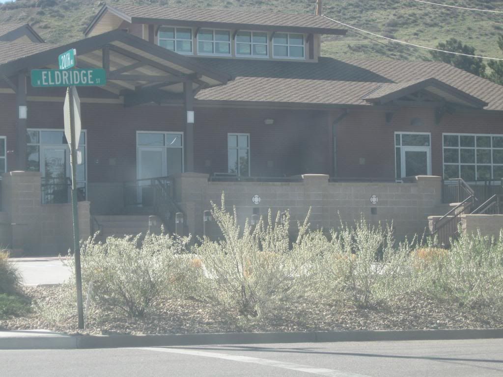
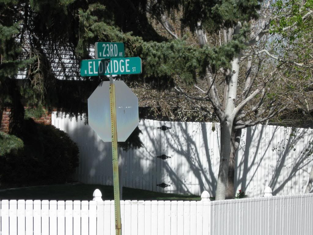
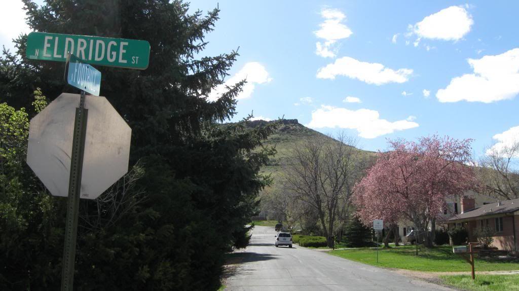
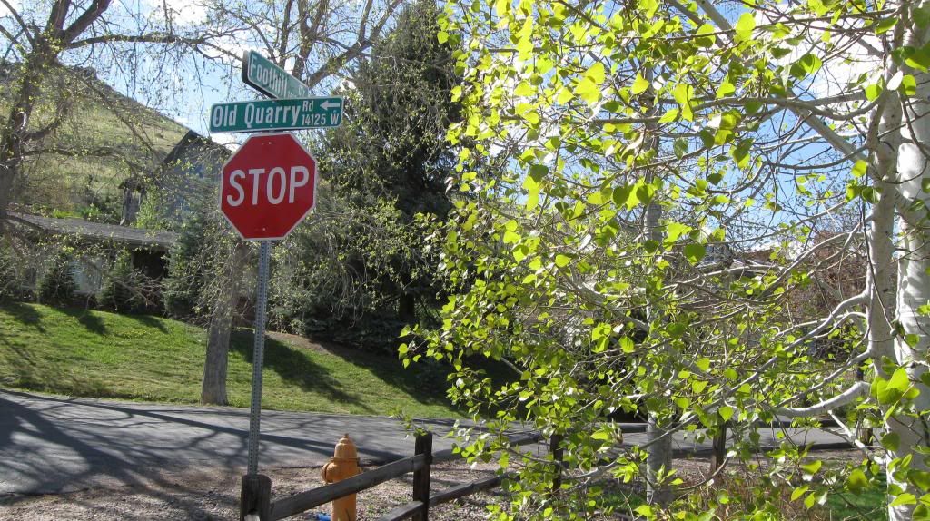
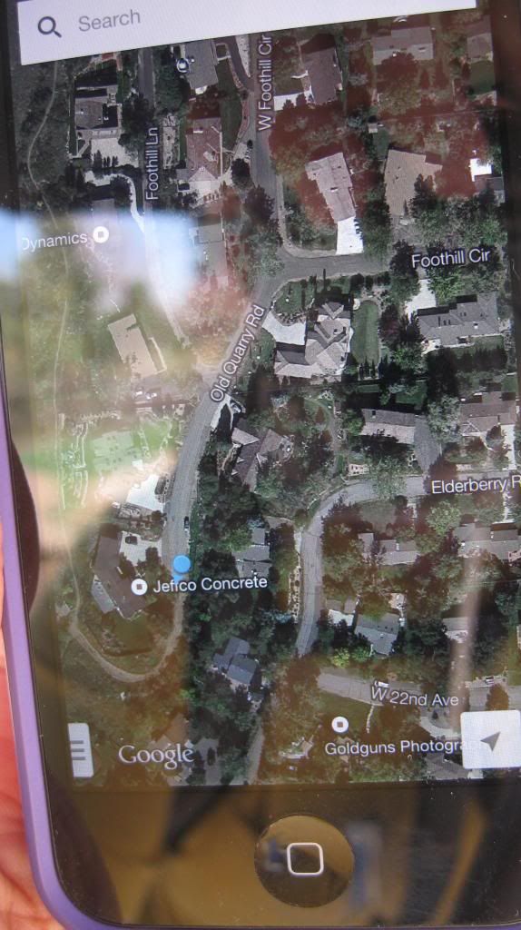
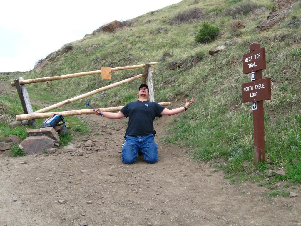
This section is oriented towards the South Table Mountain of Golden, Colorado. Best route to get there is to take exit 263 on Interstate 70 of western part of Denver. This is what it looks like if you were coming in from the west via Colfax Ave and Colorado Mills Parkway. This is what it looks like when you're coming in from the east. Head northwest for 200 meter. Once you see Denver West Parkway as indicated in this photo of a statue of a bear, head 800 meters northeast and look for this intersection with a sign saying Tanglewood Park, turn left and stay on W 20th Ave for 200 meters westbound. You'll see a Fire Department, West Metro Fire. Turn right on Eldridge and head 400 meters and park on the side of the street at this intersection of Eldridge Street and 23rd Ave. Walk up less than 30 meters northward from the intersection. Walk uphill on Foothill Circle westbound until you reach the Y intersection. Take a left on Old Quarry Road and hike for approximately 100 meters south until you reach the gate. From here on and out, you're now heading out to explore the South Table Mountain. Please use this map to figure out where you are able to go. To get your bearing in correlations to this map, you are at the easternmost section of the map of the first A Proposed Access Point via following the Road Log of this artcle.
Initially, this article was to focus on the differences between South and North Table Mountain thanks to this book by Richard M. Pearl called "Colorado Gem Trails and Mineral Guide." The first thing that struck into this article's author's mind was the statement by Pearl saying the North Table Mountain has three layers whilst the South Table Mountain has two layers. Unfortunately with the closing of several trails on the North Table Mountain, due to flood damage and nesting of raptors to nest peacefully, was taken out of this project.
The intriguing part of the Table Mountain as in whole is part of ancient lava that was spewed out by "... under the west-central part of North Table Mountain or else at Ralston dike, somewhat to the north (Pearl)." He also mentioned it was once upon a time one large slob of lava field and it was cut in half by a river as Pearl in his book said "... cut a sharp gorge between them."
This is further reinforced by the required college textbook of GEY 111 (Geology 111) class called "Physical Geology" 14th edition. More specifically, those chapters are utilized in this article: Chapter 4: Volcanism and Extrusive Rocks, Chapter 5: Weathering and Soil, Chapter 10: Streams and Floods, and Chapter 13: Deserts and Wind Action
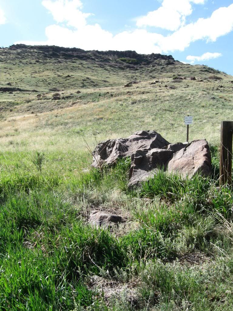
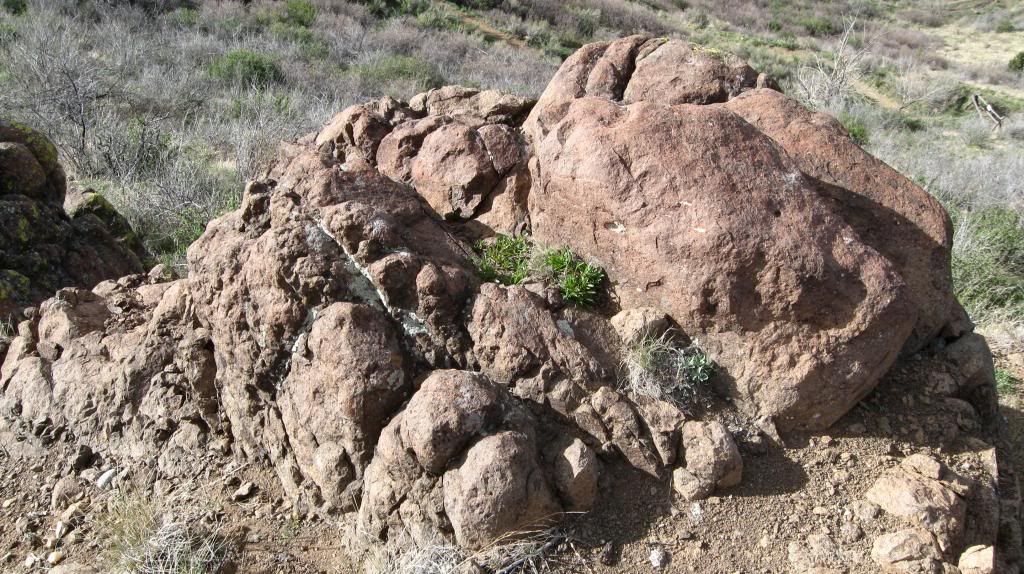
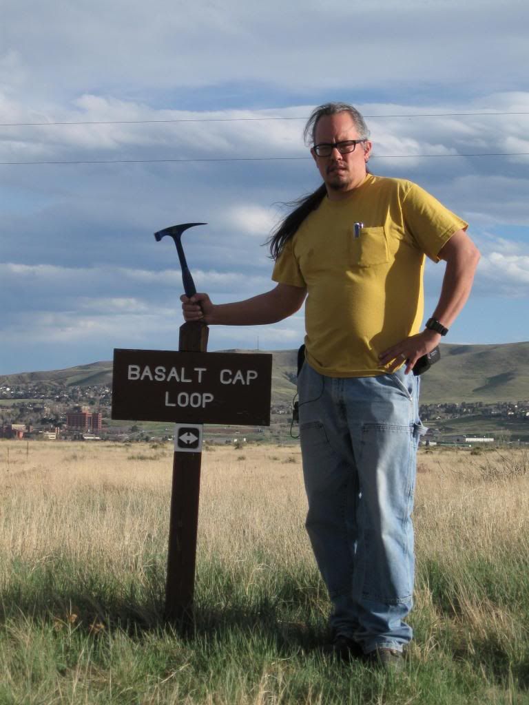
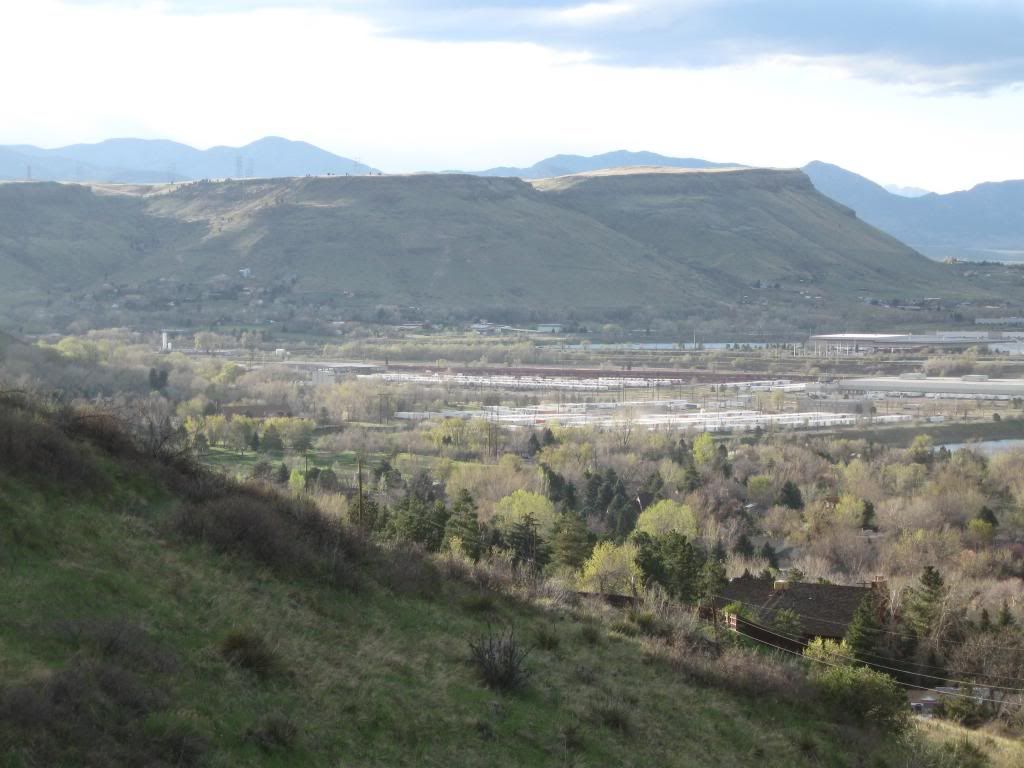
The first sight was a nice looking overhead mesa. The first shade noticed were two colors, the green and darkish hue at the top of the mesa. The greenish hue which was orignally thought possible to be a limestone until a closer look was taken, it turns out to be a bunch of lichen. Looks can be deceiving indeed. The rocks found en route to the top was mostly reddish and grayish hue. The reddish tint triggered an assumption that oxidation of the iron, Fe, of the rocks. Since there was a trail named Basalt Cap Loop, it was assumed those reddish blackish rocks were basalt. It was confirmed by Pearl by stating it is "...basalt and basalt porphyry..."
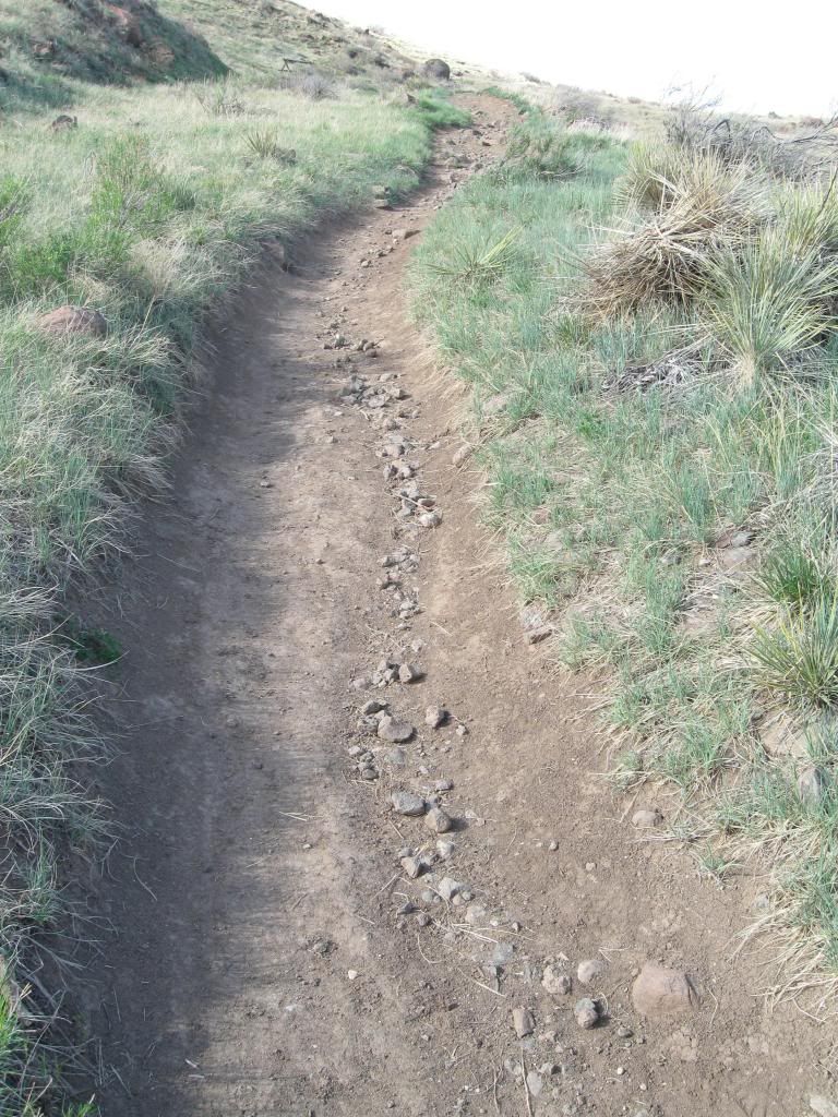
En route, there was a cool streamline of rocks that has obviously been shaped by stream of rain coming down on the trail. And it kept on eroding by ways of rolling, sliding, and sand moving by saltation like indicated on page 258 of Plummer's book.
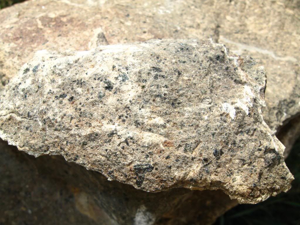
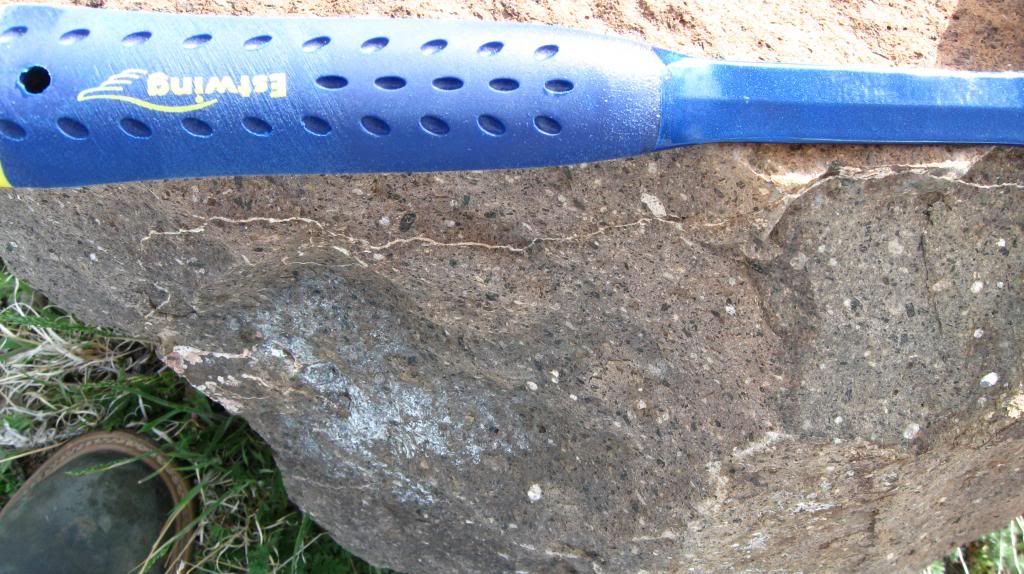
On one side of the stream-like trail, there was whitish color rock and upon chipping a small portion of it, the visual indicator seem to point to a bunch of minerals being accumulated into a type of sedimentary soil which later on solidfy.
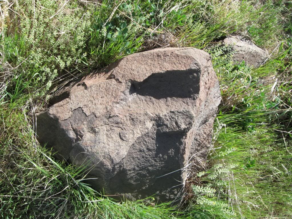
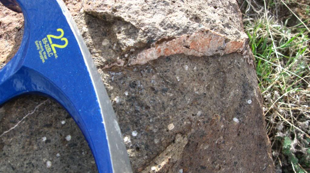
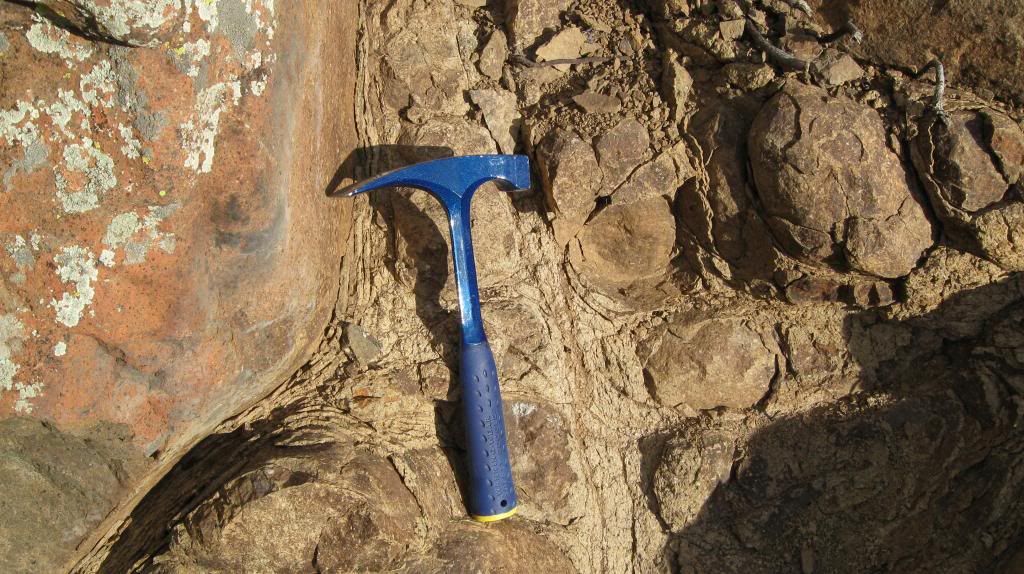
Adjacent to this whitish color rock, there was a two circular of light color soil upon the darker color soil. He immediately thought of two type of stone may have been embedded fromt he top or the bottom coming up about to the lava field.
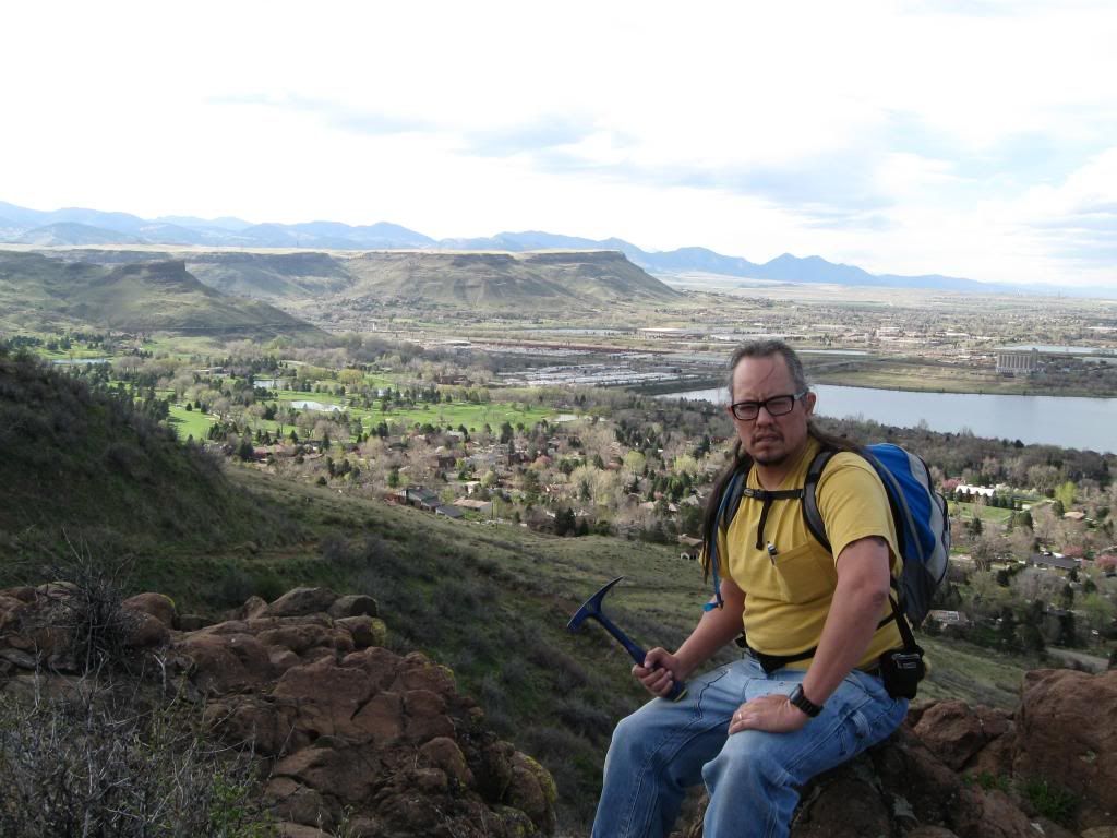
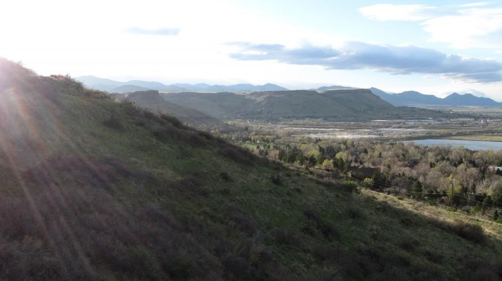
Upon reaching the top, the panoramic view of the Northern Tabletop mountain is a sight to behold in awe and the grandeur of our planet for we are only a tiny dot in this universe. The mountain stood against time that extends beyond our comprehension of time frame by geological time as reinforced by Plummer's book.
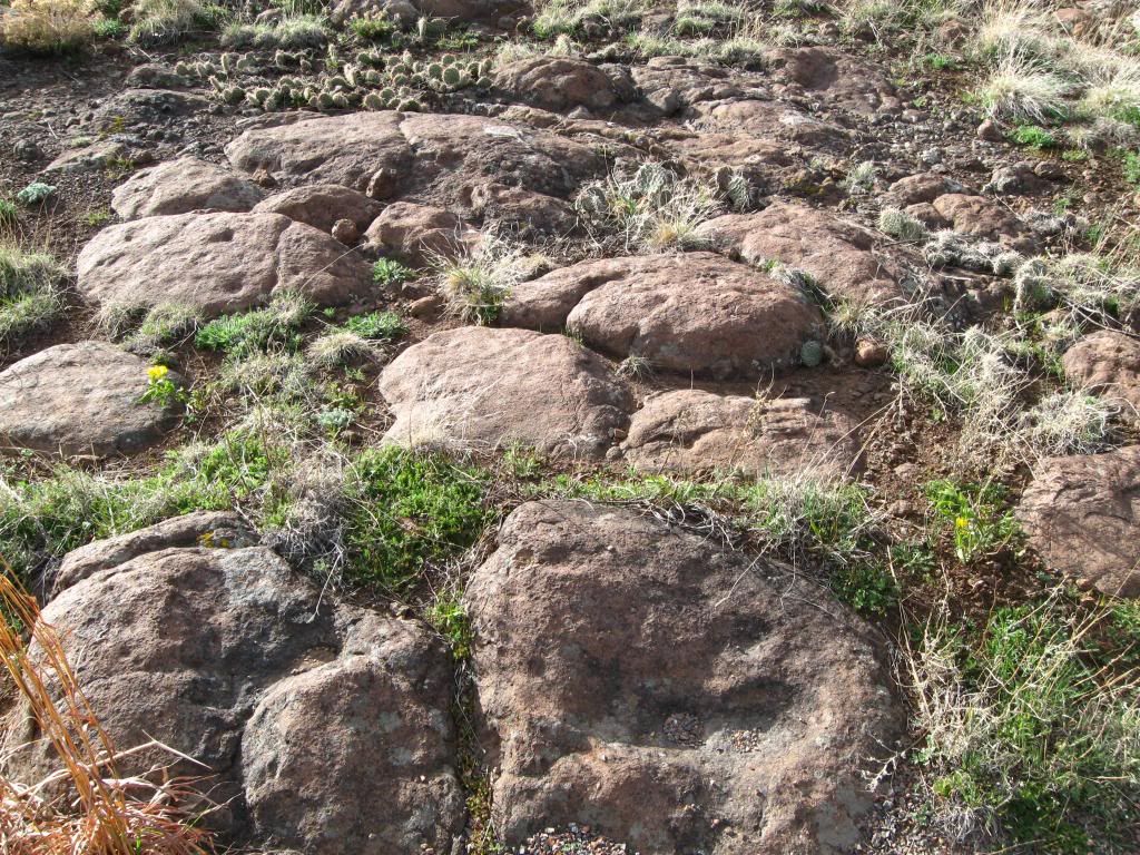
On the mesa, it was a sight behold to see all those rocks being cracked up just like described by weathering effect. Since it is at the height of 6,319 feet (Pearl), it is presume the snow melting into water and refreeze at night contributed to the weathering mechanism to crack the rocks further and further until it "peels" off like an onion.
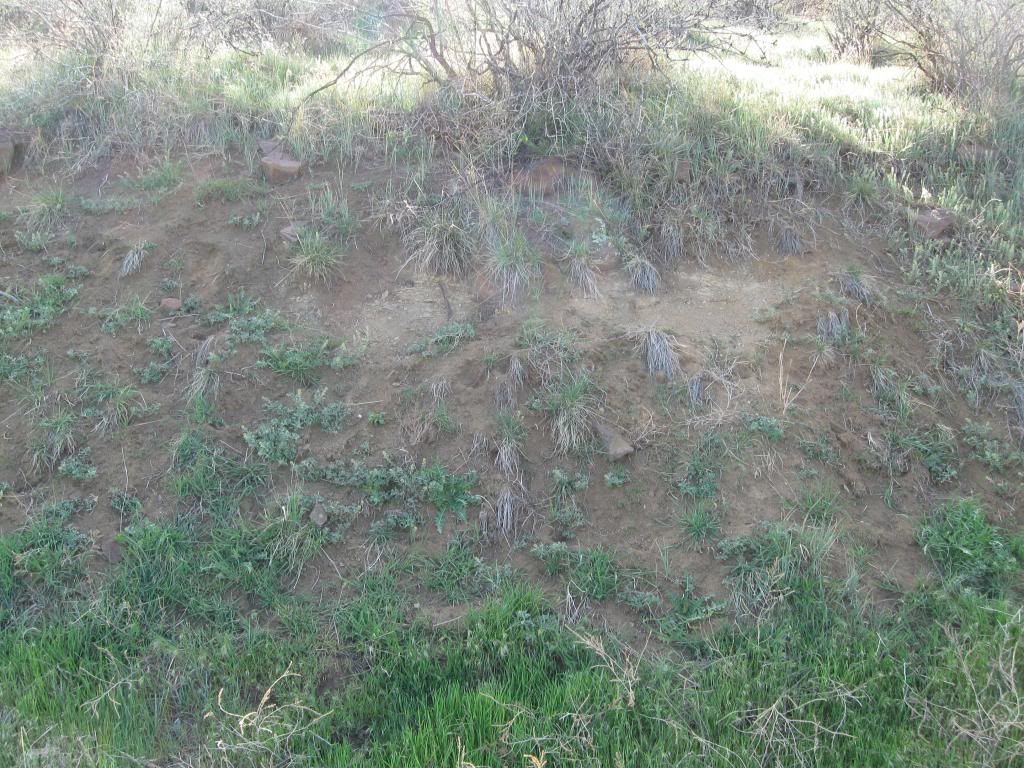
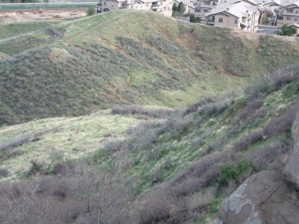
A mass wasting could be seen on one certain hill just like described in Chapter 9 Mass Wasting of Plummer's book.
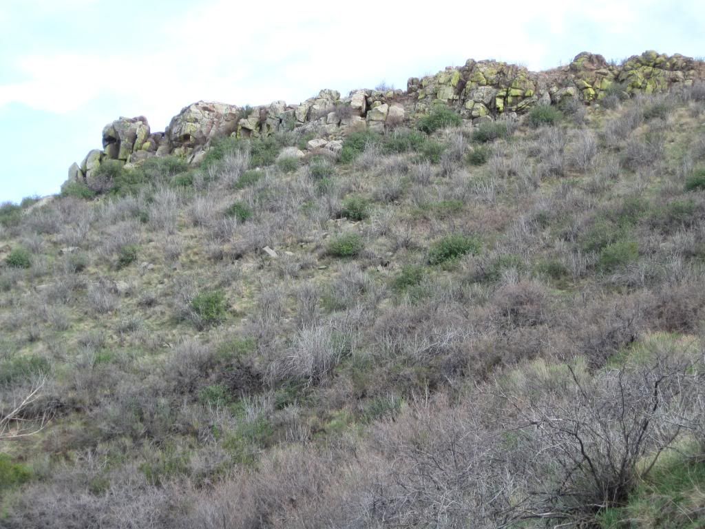
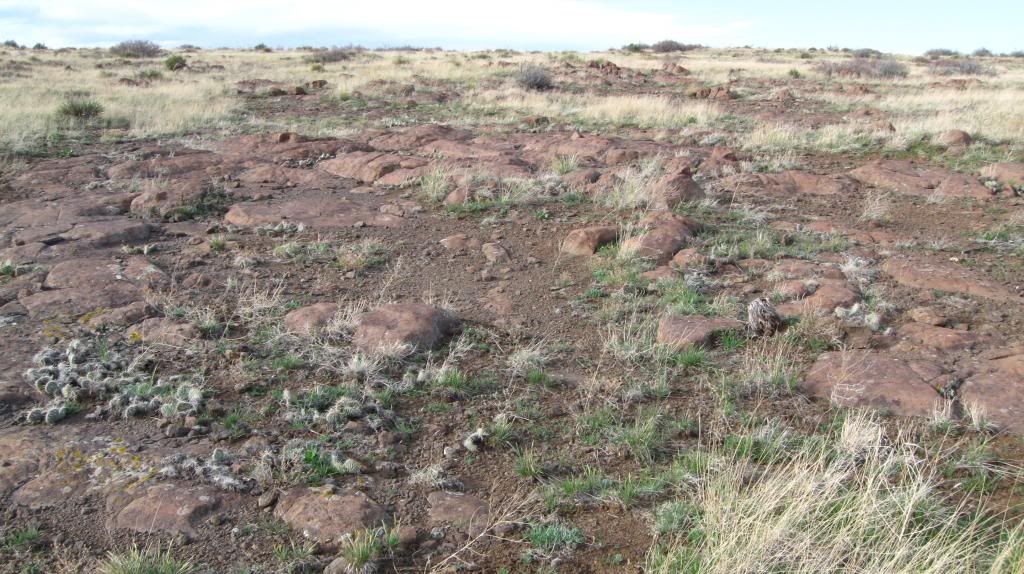
Further out inwards on the top of the mesa, it can be seen how the lava field stood against the test of time of wind erosion whilst the rest were swept away as indicated in this photo. The knowledge of how long it took compared to the human average life span can make a person feel puny.
There was one rock that caught the author's attention. It was noticed there's a thin line of whitish which led to wonderment if it's in reference to the zeolites touted by Pearl.
It was also cool to see how the vegetation can contributed to the mechanical weathering by growing between the rocks just like this cactus.
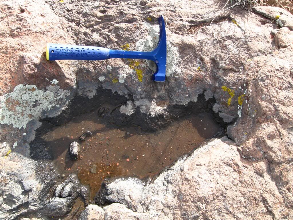
This tiny little pool got the author thinking of a pothole even though he knows it doesn't hold true for it is not in a stream whatsoever. However the shape is identical to Plummer's book on page 257.
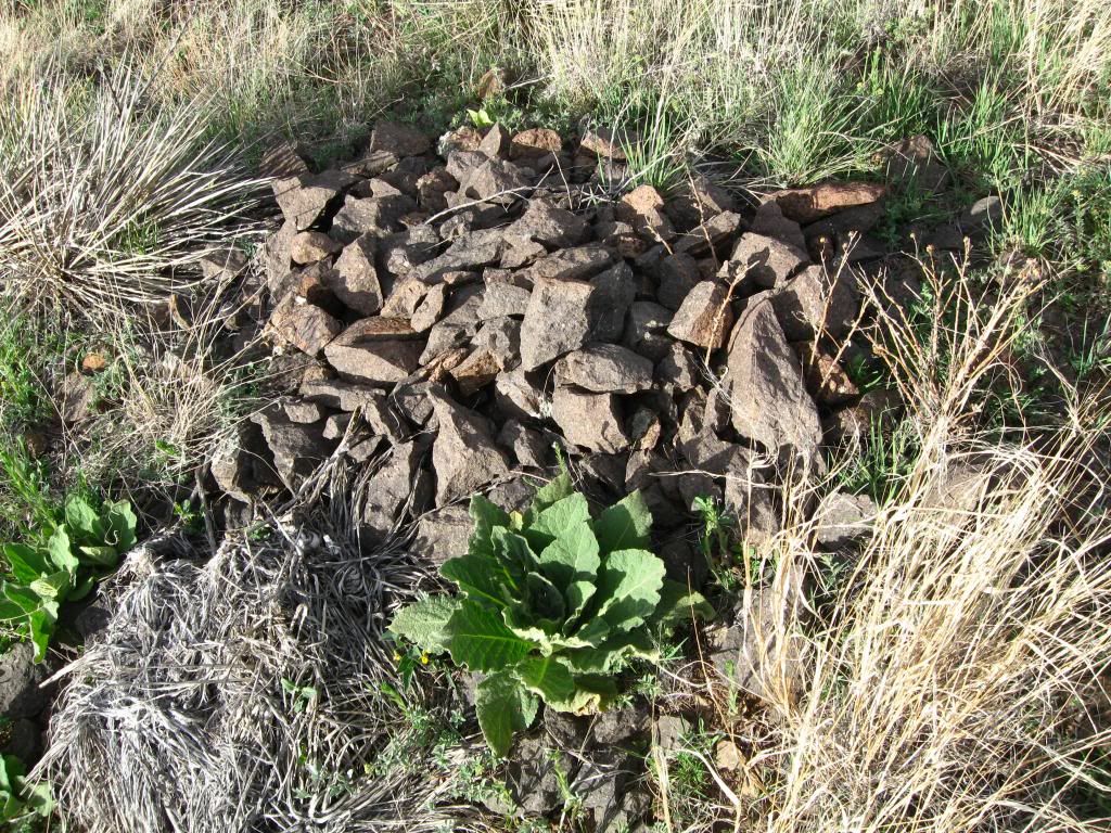
As the hike progress ont he return to the base of the mesa, there was a pile of like color rocks which might be a left over ross out by the miners ages ago when it was utilized with quarrying. It can only be deducted by that thinking thanks to a name called "Old Quary Road" down below.
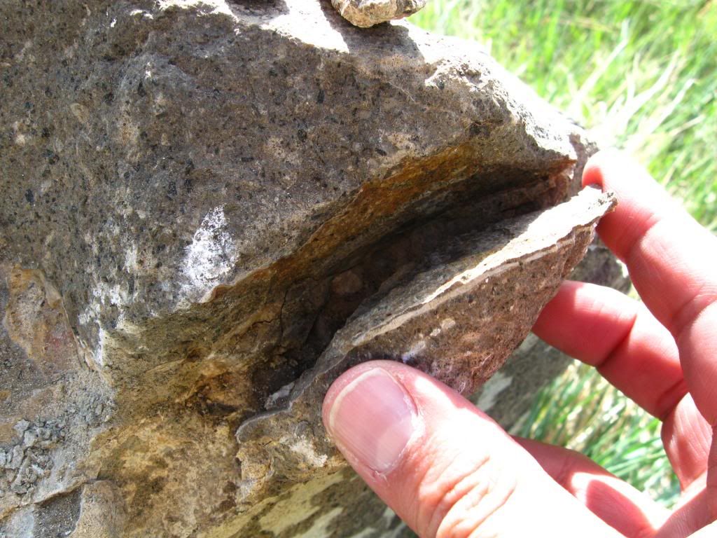
Once downhill, there was a rock on the right which got the author's imagination going wild as if he could see the sedimentary stuffs or lava wrapping around the high temperature tolerant minerals.
There is a wish to head out to the North Tabletop Mountain but that remains for another day when the trails are all open.
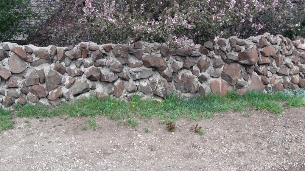
At the end of the trail, there's an appreciation of how the knowldge of geological was utilized for man to use just like this type of fence.
Ferre, E., & Ferre, E. (n.d.). What to Expect at Geology Field Camp. What to Expect at Geology Field Camp. Retrieved April 23, 2014, from http://geology.com/articles/geology-field-camp/
McInerney, J.R. (n.d.). Snakebite Identification A guide to Prevention First Aid., Retrieved April 23, 2014, from http://jeffco.us/Parks/Documents/Parks-and-Trails-Documents/Rattlesnake-Encounters/
Pearl, R.M. (1972). Denver Mountain Parks. Colorado gem trails and mineral guide (3d, rev. ed., ). Chicago: Sage Books.
Plummer, C.C., & McGeary, D. (1991). Physical geology (14th ed.). Dubuque, IA: Wm. C. Brown.